
Narrow waterfall dropping through a steep green ravine thick with undergrowth at Kanra, Gunma
Step-free
Partly step-free
Called barrier-free, nearly all paved
The main road
Rensekiyama course
連石山コース · the quarried mountain
Open
Spring and autumn
Guided sessions twice a year
The record
What you need to go
Open season
Guided sessions run twice a year, spring and autumn, with applications posted on the town website. Fireflies in summer, a maple festival in November
Getting there
not published
Fees
not published
Onsen
Kanra Furusato-kan (甘楽ふるさと館), a lodging with a day-use bath on a calcium carbonate spring
The walk
Main trail
The Rensekiyama course (連石山コース), up the quarried mountain, past the cut face called the stone stage to a deck at the top
All trails
5 trails. No length, time, gradient or surface is published for any of them
The step-free road
The base is marked no for barrier-free, yet its own listing calls the Kanra General Park course barrier-free, with little height difference and nearly all paths paved
The forest
Forest type
Roads laid across centuries of work: a dug channel on Japan’s hundred famous waters, silk-farm streets, stone-walled terraces and a quarry
What grows
Cedar · Hinoki cypress · Larch · Cherry · Maple · Kunugi oak, with a zelkova 44 m (144 ft) tall and about 600 years old
What lives
Fireflies at Rakusan-en in summer. Nothing else published
Certified since
2013
All figures updated 5 October 2026
The forest, before the facts
Somebody signs the guide message at Kanra, by name, which almost nobody does.
Nakamura Shigetaka (中村成孝), forest therapist. Most bases sign their welcome “the guides.” This one has a name on it, and what follows the name is not a welcome but a technical description of the two routes he walks and what happens on them. Both roads take stress and blood-pressure measurements before and after. On the ridge above the town there is a wooden deck built for yoga. At the top of the water-source road there is a gazebo, and before you reach it there is yoo-hoo time (ヤッホータイム), when you stop and shout across the valley.
The valley you shout across is not wilderness. Kanra is a small Gunma town stitched out of other people’s work: a water channel dug centuries ago and now listed among Japan’s hundred famous waters; a street of silk-farming houses; a lord’s garden designated a national place of scenic beauty; a hillside district where the fields are held up by walls of small stacked stones; and a mountain that was quarried to make the foundations of the silk mill that industrialized Japan.
The five certified roads run through all of it. And the whole thing happens twice a year, in spring and in autumn, when the town opens applications.
Five reasons to come
A guide who signs his own name, and takes your blood pressure before and after.
A water channel among Japan’s hundred famous waters, with a cherry avenue along it.
The quarry that supplied the foundation stone for the Tomioka Silk Mill.
A six-hundred-year zelkova standing on a burial mound, forty-four meters tall.
Yoga on a wooden deck on a ridge, with Mount Asama in front of you.

The river from above, with no clear bank anywhere along it.
A town assembled from other people’s labor
Kanra (甘楽町) sits in southwestern Gunma, and what it is known for is a list of inherited things rather than natural ones.
Ogawa-zeki (雄川堰) is a historic irrigation channel, one of the hundred famous waters of Japan on the Environment Ministry’s list. It runs through the town with a cherry avenue along it, and that avenue is one of the base’s three notable stands of trees.
Then a surviving group of silk-farming houses. Gunma was the center of Japan’s silk industry, the thing that paid for the country’s industrialization, and a sericultural farmhouse is a specific building: tall, with ventilation openings worked into the roof, because the top floor was where the silkworms lived.
Rakusan-en (楽山園) is a daimyo garden, nationally designated a place of scenic beauty. And in summer, the fireflies come to it.
And Akihata (秋畑), a district up the hill where the fields are terraced behind chiijigaki (ちいじがき): walls built from small stones stacked by hand, which is what you do when the stone you have is small and the slope still needs holding.
The famous-waters listing is worth a moment, because it is a specific thing rather than a compliment. It is an Environment Ministry selection, made in the mid-1980s, of a hundred waters across Japan judged on quality, on the condition of the water environment around them, and, importantly, on whether local people were actively conserving them. A listed water is not simply clean; it is clean and looked after by somebody. That the Ogawa channel is on that list, four hundred years after it was dug for irrigation, says the town never stopped maintaining it. The cherry avenue along it is the visible half of that; the channel still carrying water is the other.
Certified in 2013. Corporate training, overseas visitors and children: yes. Barrier-free: no — which contradicts its own road list, as below.

An irrigation channel cut in the Edo period and still carrying the same water.
Five roads, and one of them is explicitly barrier-free
The Hachimanyama Yūhigaoka course (八幡山夕陽ケ丘コース) runs the satoyama hill above the Ogawa channel and the silk-farm streets. It carries a variety of trails, so you can pick by fitness, and two built installations: the Plaza of Fragrant Wind (かおる風のひろば) on the ridge, with a wooden terrace for forest yoga, and the Plaza of Evening Glow (夕映えのひろば) at the summit, with an observation deck over the town.
The Momijiyama course (紅葉山コース) circles Momijiyama Park, a low hill north of the base’s hub facility, planted thickly with maples. In November the town holds its maple festival there, and the hill fills up.
The Water-Source Forest course (水源の森コース) runs from cedar-dominated conifer into kunugi oak and other broadleaves. Nakamura adds the detail the listing leaves out: the path is surfaced with wood chips.
The Rensekiyama course (連石山コース) goes up a mountain that was a quarry. The stone cut here, goyō-ishi, official stone, went into the foundations of the state-run Tomioka Silk Mill, now a World Heritage site and the building most often used to explain how Japan industrialized. The quarry face is still there, and it has a name: Ishi-butai (石舞台), the stone stage. There is an observation deck at the top.
And then the Kanra General Park course (甘楽総合公園コース), which circles the sports park and follows the Murmuring Stream Path (せせらぎの路) along the Ogawa. Its own description:
Little height difference, and almost all the park paths are paved. A barrier-free course.
So the base answers no to barrier-free access, and one of its five roads is described, in the same listing, as barrier-free.

Cloud in the valley and forest over everything above it.
Nothing published resolves that. What is clear is that the blanket no is wrong about at least one of these roads, by the base’s own words, and that anyone planning around a wheelchair should ask about the Kanra General Park course specifically: surfaced width, a step at the entrance, the surface from the parking area, and the toilets in the park. The number is 0274-64-8319, the agriculture and forestry section of the town’s industry department.
It is the clearest case yet that a single yes-or-no answer cannot describe a base. One can hold a paved flat loop and still answer no.
What the guide actually does
Nakamura’s message is worth reading closely. It is a rare thing: a first-person account of a forest therapy session written by the person who runs it.
He splits the base in two, the hill roads in the town and the road in the water-source forest. On both, stress and blood pressure are measured before and after.
On Hachimanyama, the sequence is the channel and the cherry avenue, then yoga on the wooden deck on the ridge, then rest at the summit looking at satoyama — not at a spectacle, at ordinary worked countryside. The panorama from the viewpoint runs a full 360 degrees, taking in Mount Asama (浅間山), the active volcano on the Nagano border, and the three mountains of Gunma. That is where lunch happens.
On the water-source road, you walk the wood-chip path through mixed conifer and broadleaf, stop part way to look across at the stone-walled fields of Akihata, and then: yoo-hoo time. Then the gazebo at the top, and yoga facing Asama, which he calls a magnificent sight.
Yoo-hoo time appears in no official guidance anywhere. It is somebody’s own idea, written into the itinerary, because shouting across a valley and waiting for the echo is good and he knows it.
The two programs are plain: a guided walk, adjusted to whether you want to feel the forest or sweat, and stretching and forest yoga, which the base argues works better outdoors because of the openness.
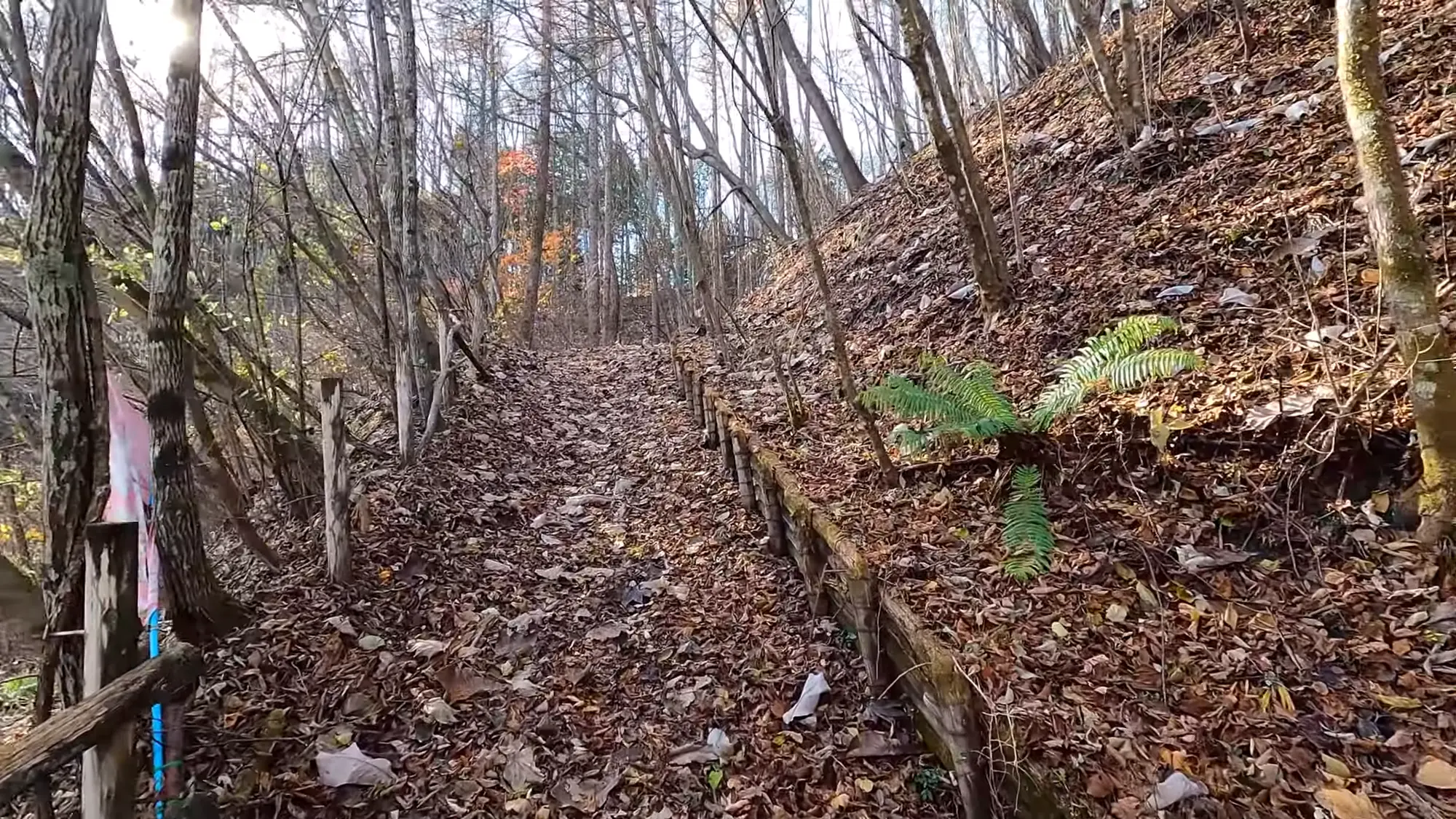
Deciduous hill forest in February, down to its bones.
Notice what the measurement is doing in his account. He mentions it once, in passing, as a fact about how the sessions are run — not as a selling point and not as evidence of anything. It is the same before-and-after shape the Society requires of a certification experiment, applied to whoever turns up, twice a year, by a man with a cuff and a form. Nobody publishes the results. But somebody is taking the readings, which is unusual.
Two trees, measured
Kanra does something almost no base does: it publishes dimensions for individual named trees.
The great zelkova of Sasamori (笹森の大ケヤキ) stands on the southern mound of the Tennōzuka burial mound (天王塚古墳), a tree growing on a grave older than almost everything else here. It is 44 m (144 ft) tall, 4.8 m (15.7 ft) around at chest height, and reckoned at about 600 years. Forty-four meters is a fourteen-story building.
The weeping cherry at Hōshaku-ji is 13.5 m (44 ft) tall, 1.6 m (5.2 ft) around, and about 130 years old. Its own description is unexpectedly tender: perhaps it is the mercy of Kannon, the bodhisattva of compassion the temple is dedicated to, that the branches hang so softly.
A certification body that publishes trunk circumferences and then speculates about a bodhisattva’s effect on branch habit, in the same breath, is one worth reading in full.
Twice a year, and the thing that follows from that
Here is the constraint that governs everything above. Sessions are planned twice a year, spring and autumn, and the application window is posted on the town’s website.
So Kanra is not a base you turn up at. The roads are public ground and the town is open, but the guided forest therapy (the blood-pressure cuff, the yoga deck, the yoo-hoo) happens on perhaps two days a year, and you have to be watching the town’s site to catch the application window.

Steps you find by feel, under a season of leaves.
Say that plainly rather than let anybody drive to Gunma for nothing. It is also the more interesting shape: Kanra is not selling a product continuously, it is running a community event that happens to be nationally certified. The named guide, the hand-measured blood pressure, the shout across the valley and the lunchbox from a single local kitchen are all what you get when a thing is run twice a year by people who live there, rather than daily by people employed to.
No price is published. No road length, gradient, walk time or surface is published for any of the five. Those are the questions for the town.
The mountain that holds up the silk mill
The Rensekiyama road deserves more than a line, because of what the stone did.
The Tomioka Silk Mill opened in 1872 as a state enterprise: the Meiji government’s attempt to industrialize silk reeling using French machinery and French instruction, staffed largely by young women recruited from across the country, built to earn the foreign currency that paid for everything else Japan did in that generation. It is now a World Heritage site and it is the building Japanese schoolchildren are shown when somebody has to explain where the modern country came from.
It is eight kilometers (5 miles) from Kanra, and the stone under it was cut out of this mountain. The word for that stone is goyō-ishi, official stone, the term for material requisitioned for government use, and the quarry face, the stone stage, can still be found on the route.
So one of the five certified roads here is a walk up to an industrial scar. Not a ruin dressed up as scenery: a hillside where men cut blocks and dragged them down to make the foundations of the thing that changed the country, and then stopped, and the forest came back over it. The observation deck at the top looks out over the town that did the cutting.
It sits oddly alongside forest bathing and it should. The practice asks you to walk slowly and notice; what there is to notice on this particular road is that the quiet broadleaf wood you are standing in is also an extraction site, and that the two facts are not in tension because in Japan they almost never are. Every forest on this list has been worked. This one just left the tool marks where you can see them.
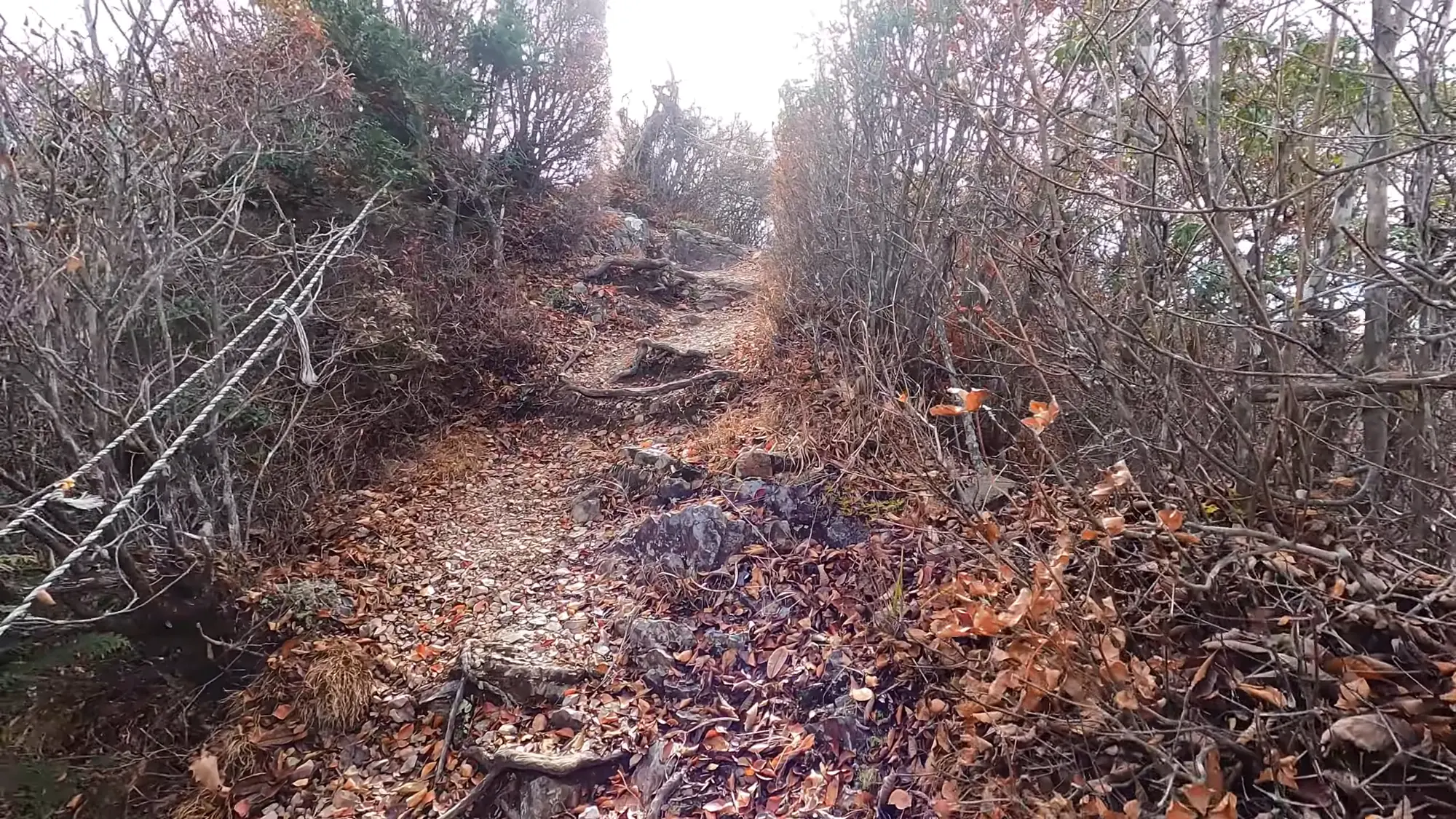
The last pull to the summit, where the trees give out.
Lunch, a bath, and two theme parks about food
The lunchbox comes from Mikuriya Shōten (み厨や商店), working to a stated idea: food that lets the heart and body relax. Local seasonal ingredients, and an explicit aim of going easy on both the body and the environment.
The hub facility is Kanra Furusato-kan (甘楽ふるさと館), a lodging with a day-use bath, and the water is a calcium carbonate spring. It also runs the hands-on things a Japanese country town offers: catching trout by hand, making konnyaku, and making your own soba or udon. Barbecue without bringing anything.
Michi-no-Eki Kanra (道の駅甘楽), the roadside station, sells produce and runs a restaurant doing Momotarō rice bowls and udon from local flour. Then, unexpectedly, it sells wine and olive oil direct from Certaldo in Tuscany, Kanra’s sister city, and runs a proper wood-fired pizza oven. A Gunma roadside station with a Tuscan import counter is the kind of thing that only happens because two mayors got on.
And two food theme parks sit nearby, both faintly surreal: Konnyaku Park (こんにゃくパーク), where you tour a konnyaku factory and eat an all-you-can-eat tasting buffet with a foot bath attached, and Mentai Park Gunma (めんたいパーク群馬), which is about cod roe and has a slide.
Getting there, and what the stones are actually for
No station, journey time, bus route or fare is published anywhere. Kanra is in southwestern Gunma, near Tomioka, in the country Tokyo reaches in a morning.
What is worth holding onto is the thread that runs through all five roads, because it is not a natural one. A channel somebody dug. Houses built tall for silkworms. A garden a lord laid out. Fields held up by walls of small stones carried there by hand. A mountain cut open to make the foundations of a mill that changed the country. Kanra’s forest therapy base is laid across four centuries of people shifting earth and stone and water to make a steep place livable, and the town’s own phrase for it is exactly right: nature and history fused.
Which makes the yoo-hoo better, not worse. You stand on a wood-chip path on the water-source road, look across at the terraces of Akihata holding up somebody’s fields on walls of stones the size of a fist, and shout. Then you walk up to the gazebo and do yoga facing a volcano, and somebody named Nakamura takes your blood pressure again and tells you what it was before.
Nearby and alike

Gunma · Certified 2014
Akagi Shizen-en
Sixty hectares of private park on Mount Akagi, maintained by hand daily, with a five-hour program built on a self-assessment sheet — and migratory butterflies in autumn.

Gunma · Certified 2006
Uenomura
Twelve and a half kilometers along a headwater of the cleanest river in the Kantō, in a village that is 96 percent forest — with vehicle restrictions and a cap on entry.

Ibaraki · Certified 2016
Okukuji
Forty-nine hectares planted in a single ceremony in 1976, listed among Japan’s hundred best forest-bathing forests a decade later. The guides stake it all on what grows on the floor.

Forest Bathing in Japan
Japan named forest bathing in 1982, then measured it. The practice, the places, and what the studies show.

The Walk
A measured forest walk is about thirty minutes and no destination. Here it is, sense by sense, step by step.

Choosing a Base
Eight forests, from Kusatsu to Yakushima. Which fits your days, your season and the onsen waiting after.